

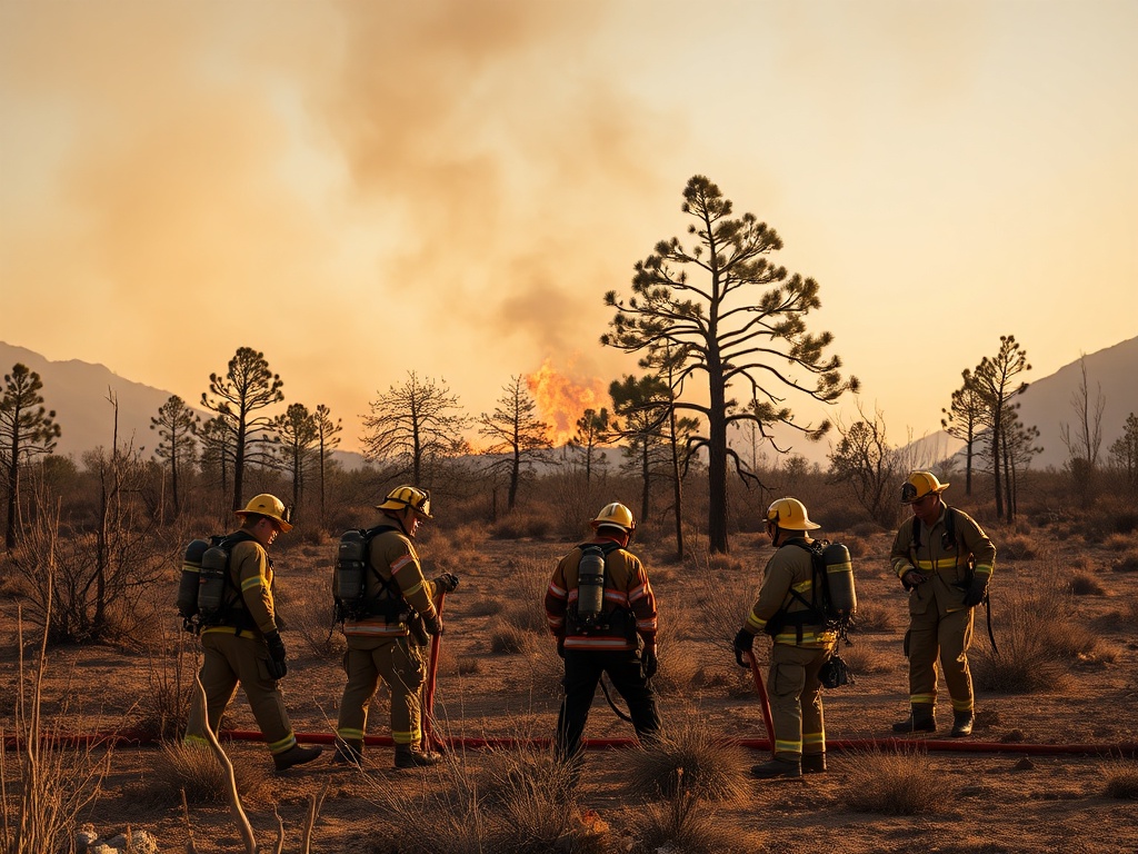
Crews held the Corral Fire near Alpine in Apache County, Arizona, after it was ignited by lightning on Monday, officials said. The wildfire, which burned on the Apache-Sitgreaves National Forests Alpine Ranger District, grew amid dry conditions that have heightened fire danger in the region.
The Corral Fire, which ignited Monday on the Apache-Sitgreaves National Forests Alpine Ranger District, was sparked by lightning amid dry spring conditions, officials said.
The fire was first reported about 14 to 18 miles southwest of Alpine, Arizona, near the Fort Apache area in Apache County, according to social media posts from the Apache-Sitgreaves National Forests and updates on WildlandFire.az.gov.
Initial reports indicated the fire had grown to approximately 200 acres with no containment, but the latest infrared mapping showed the fire remained at about six acres with no growth in the past two days, according to a recent update from the forest service. The discrepancy in size reflects multiple reporting updates over time from incident command sources. Officials confirmed that crews were actively employing direct suppression tactics to hold the fire’s perimeter.
No evacuation orders have been issued specifically for the Corral Fire as of the latest updates, though nearby wildfires in the Alpine area have prompted Level 2 “SET” evacuation warnings for residents within half a mile of County Road 4 2040, according to Apache County emergency notifications. Authorities continue to monitor the situation closely due to the potential for rapid fire spread in the region’s dry and windy conditions. Residents are advised to follow official county emergency alerts and road status updates through AZ 511.
The wildfire season in eastern Arizona remains active, with multiple fires reported in Apache County. Alongside the Corral Fire, the Divide Fire near Alpine has generated evacuation warnings, and the Lookout and Clear Cut fires south of Alpine have burned a combined total of 358 acres with 0% containment, according to the Southwest Area Wildfire and Prescribed Fire Map and the NWCG Wildfire Situational Awareness Map. Drought and persistent dry weather have contributed to elevated fire danger across the region.
Firefighting efforts on the Corral Fire and other incidents continue under the coordination of the Apache-Sitgreaves National Forests incident management team. While aircraft use has been reported for other regional fires, there is no confirmation of aviation resources assigned to the Corral Fire at this time. Containment efforts focus on establishing control lines around the fire perimeter to prevent further growth, as explained in official wildfire containment definitions.
Officials emphasize that the wildfire situation in the Alpine area remains dynamic, with conditions subject to change depending on weather patterns and fire behavior. Updates and incident information are available through the Apache-Sitgreaves National Forests Facebook page, WildlandFire.az.gov, and state emergency notification systems. Fire managers continue to monitor the Corral Fire and other eastern Arizona wildfires as part of ongoing wildfire response operations.
Comments are closed.