

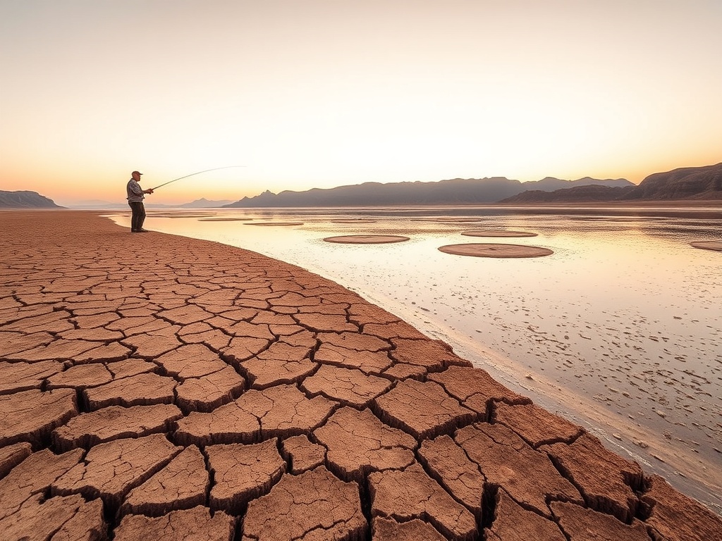
The Federal Colorado Basin River Forecast Center projected that runoff into Lake Powell from April through July 2026 would reach only 800,000 acre-feet, the lowest since the reservoir’s creation in 1963, officials said. The record low flow resulted from a historic low snowpack and early snowmelt caused by dry and warm conditions in the Colorado River Basin, threatening Arizona’s water supply during critical months.
This projection is 42% lower than the agency’s forecast issued one month earlier and 17% below the previous record low of 964,000 acre-feet set in 2002, officials said. The forecast represents the lowest spring and summer inflow since Lake Powell was created in 1963 by the Glen Canyon Dam.
The forecast from the Federal Colorado Basin River Forecast Center, a division of the National Oceanic and Atmospheric Administration, shows runoff into Lake Powell from April through July 2026 is expected to total only 800,000 acre-feet, or 13% of the average volume for this period.
The reduced runoff is attributed to a combination of a historic low snowpack and early snowmelt caused by unusually dry and warm weather conditions across the Colorado River Basin. According to the National Weather Service’s Colorado Basin River Forecast Center, the winter of 2025-2026 produced record-low snowpack levels in the mountains of Colorado, Utah, and Wyoming that feed the Colorado River. In March 2026, record heat accelerated snowmelt, leading to premature runoff. A federal snow survey conducted in early April 2026 in Utah recorded the lowest April 1 snowpack since systematic measurements began around 1930, officials confirmed.
Utah state estimates indicate that peak runoff for the state’s largest creeks and rivers, including the Bear, Weber, and Provo rivers, has already passed, further reducing the volume of water entering Lake Powell this spring. Utah Governor Spencer Cox is reportedly considering an emergency order in response to the severe drought conditions, according to state sources. The state’s snowpack measurements confirm that the winter of 2025-2026 was the worst in nearly a century.
The forecasted inflow of 800,000 acre-feet is equivalent to the amount of water needed to supply all Tucson Water customers for eight years, Tucson.com reported. Lake Powell serves as a critical storage reservoir that supplies water to Lake Mead, which in turn provides water to Arizona, California, Nevada, and Mexico. The far-below-average inflows during the key April through July period place Arizona’s water supply at risk amid ongoing drought conditions, officials said. The full impact on water users across the seven Colorado River Basin states remains uncertain, according to the federal forecast.
Lake Powell, situated along the Utah-Arizona border, is the nation’s second-largest reservoir. As of May 7, 2026, its elevation stood at 3,561.30 feet, down 35.35 feet from previous measurements, per the Lake Powell Water Database. To mitigate the declining water levels, controlled releases from Flaming Gorge Reservoir are planned for the coming year, officials confirmed.
The broader regional context includes continued pressure on the Colorado River Basin’s water resources, which serve approximately 40 million people across seven U.S. states and Mexico. The warm and dry winter conditions that led to the record-low snowpack and early snowmelt have contributed to reduced river flows into Lake Powell. The National Oceanic and Atmospheric Administration’s forecast underscores the ongoing challenges facing water management in the western United States amid persistent drought conditions.
Comments are closed.