

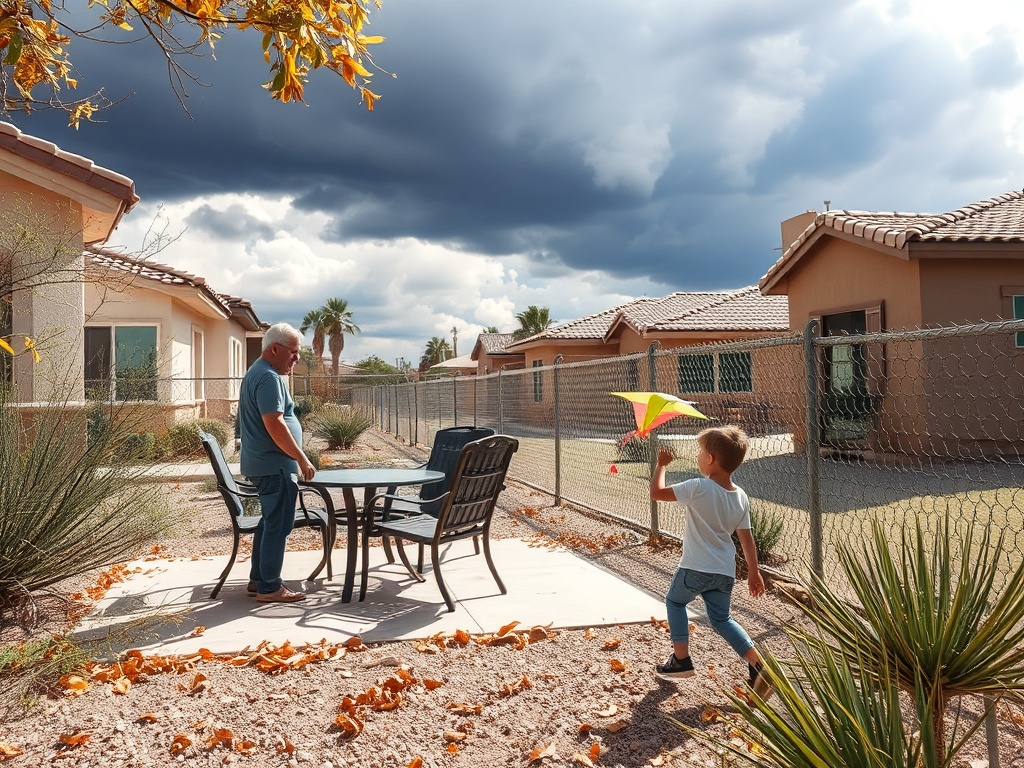

Residents of Mesa, Chandler, Tempe, and surrounding South Central Arizona communities faced a Wind Advisory issued by the National Weather Service Phoenix for March 30, 2024. Officials said southwest winds of 20 to 30 mph with gusts up to 45 mph created difficult driving conditions and caused blowing dust that reduced visibility.
The Wind Advisory issued by the National Weather Service (NWS) Phoenix remained in effect from noon to 10 p.m. MST on March 30, 2024, covering Mesa, Chandler, Tempe, and other South Central Arizona communities, according to the official advisory. Officials also warned that light, unsecured objects could become airborne and that blowing dust or sand might reduce visibility to less than a mile in some areas.
The NWS forecast office reported that southwest winds of 20 to 30 mph with gusts up to 45 mph were expected during this period, creating difficult driving conditions, especially for larger and high-profile vehicles traveling in crosswinds.
The advisory included a broad portion of south central and southwest Arizona, with specific mention of Mesa, Chandler, Tempe, Gilbert, Phoenix, Scottsdale, and Peoria. The NWS Phoenix office issued the advisory early Saturday morning at 1:41 a.m. MST, marking it as a continued alert tied to an active weather situation. The timing of the advisory placed the most severe conditions during daytime and evening travel hours, raising concerns for motorists on highways and open roadways.
Meteorologists at the NWS Phoenix forecast office explained that a stationary area of low pressure was responsible for maintaining elevated winds across the region. While the strongest winds were forecast to occur over southeastern California, where gusts could exceed 40 mph, the advisory area in Arizona was expected to experience sustained southwest winds with significant gusts. Temperatures were predicted to run 5 to 10 degrees below normal on March 29 and 30, 2024, before warming later in the weekend. The forecast office also projected above-normal temperatures by June 1, 2024, indicating a broader weather pattern shift rather than an isolated wind event.
Local observations from the Chandler area during the advisory period showed clear skies with a temperature of 86 degrees Fahrenheit and 13% humidity. Winds were reported from the east-northeast at 10 mph, with a heat index of 83 degrees, suggesting that advisory-level winds had not yet developed at the time of that snapshot, according to NWS Chandler-area observation data. However, the ongoing advisory indicated that stronger winds were expected later in the day.
The NWS cautioned that the elevated winds could cause hazardous conditions, particularly for high-profile vehicles vulnerable to crosswinds. The potential for unsecured objects to become airborne posed additional safety risks. Furthermore, blowing dust and sand could sharply reduce visibility, complicating travel and outdoor activities across the desert areas of the affected region.
Additional local alerts from Tempe included warnings about damaging winds, falling tree limbs, and possible power outages in other parts of Arizona, although these were not directly tied to the March 30 advisory. Air quality concerns were noted in Yuma, where a PM-10 High Pollution Advisory was active due to wind-related dust, illustrating the broader impact of the regional weather pattern.
The NWS Phoenix forecast office emphasized that the wind advisory was part of a synoptic weather setup involving a stationary low-pressure area, which maintained elevated winds across multiple states in the Southwest. This pattern was expected to transition later in the weekend as temperatures warmed and winds subsided. Residents and travelers in the affected areas were advised to monitor ongoing forecasts and exercise caution during the advisory period.


Comments are closed.